 I
normally depend on my natural internal alarm clock to wake me about dawn
but this morning I sleep a little late. At little after six I looked
out the portlight to find a heavy fog blanketing the lake. I was sure I
would lift in an hour or so and I decided to catch a little more sleep.
At seven o-clock there was still no change. By eight still no change
and I was really getting antsy. Guntersville was a nice town but
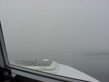
I wasn't quite ready to take up residence. I really didn’t need gas but
went ahead and fueled just because I had the time. (Photo - view over the
bow when visability improved!) I
normally depend on my natural internal alarm clock to wake me about dawn
but this morning I sleep a little late. At little after six I looked
out the portlight to find a heavy fog blanketing the lake. I was sure I
would lift in an hour or so and I decided to catch a little more sleep.
At seven o-clock there was still no change. By eight still no change
and I was really getting antsy. Guntersville was a nice town but
I wasn't quite ready to take up residence. I really didn’t need gas but
went ahead and fueled just because I had the time. (Photo - view over the
bow when visability improved!)
By 8:30 I had enough. It looked like it had lifted a little and I was ready to have a go at it. At this point the lake it is about a mile wide. I estimated that I had about 100 yards visibility. The channel was marked but buoys were far enough apart I could not see from one to the next. Here my GPS proved it worth. In my pre-trip planning I had taken the time to use a mapping program and the river chart to create a track of the channel for the entire trip. I had uploaded this to the GPS and on the screen it placed a line showing me were the channel was located. By zooming in and following the track I could hold very true to the course. I could confirm my accuracy by watching the channel markers appear from the mist as I passed by. But staying in the channel was only half the problem. There was still that gnawing feeling in my stomach as I contemplated the question, “What if there is a barge out there?” I kept my speed to the minimum necessary to stay on plane and keep focused on the hidden path ahead. The good news was that barges move slowly and I was confident I would be able to see one in time to steer clear. Because of their size barges can’t maneuver to avoid small craft but this morning he would have never even see me. If someone was on the stern they might notice a lot of toothpicks in their prop wash but that would be about all. This somewhat high pucker factor continued for about ten miles. Then it let up a little an allowed about a quarter mile visibility and I could see the shoreline off and on. By about 10:30 things were in fairly good shape with only pockets of the dense stuff here and there. At mile marker 412 the river channel splits in two and becomes very narrow at about 150 yards at some points. The visibility was decent but up ahead there was something in the river that I could not quite make out. As I came closer I recognize it was the bridge at Bridgeport, AL. and I came to the realization it was hard to see because of a very dense area of fog. I was running about 26 MPH looking at the bridge as I passed under and sudden everything went white. It was so dense I could not see either the shore just 50 yards away! So now I was running blind and my mind starts painting pictures of big rust red steel barges boring down on me and I find my self calculating the odds of getting to see what the underside of their hulls look like. I jerk back the throttle and make a 90 degree turn and plow towards
where I think the shore should be. Finally it appears and I crowd
it as close a possible. I only hope if there is a tow coming my way
he is in the middle of this extremely narrow channel. Sitting still is
not going to help so I continue on at a snails pace hoping either the fog
lifts or the river gets wider. It continued for about a quarter mile and
then I suddenly I exited the other side. I then had a good half-mile visibility
so back to cruise speed.
|